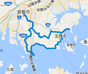
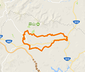
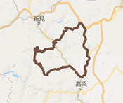
TOTTORI EASTERN PART ROUTE
From Tottori Station to Tatsumi Mountain Path, this route follows the wonderful ever-changing scenery along the river, and is also safe and easy to ride following the opening of the Tottori Expressway. Enjoy a marvelous and refreshing sense of accomplishment as you reach the lakeshore at Ombara Kogen Highlands.
- Level
- ★★☆Intermediate
- Distance
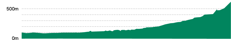
- 46.95km
- Highest elevation
- 780m
- Total elevation gain
- 932m
- Average time required
- 3h00m
- Recommended season
- New greenery of early summer or autumn foliage seasons
From a pleasant cycle along the riverside to full-fledged mountain roads, try this exhilarating route on the border of two prefectures that gives you the best of both worlds—the plains and the mountains.
ROUTE VIEW POINTRoute view point
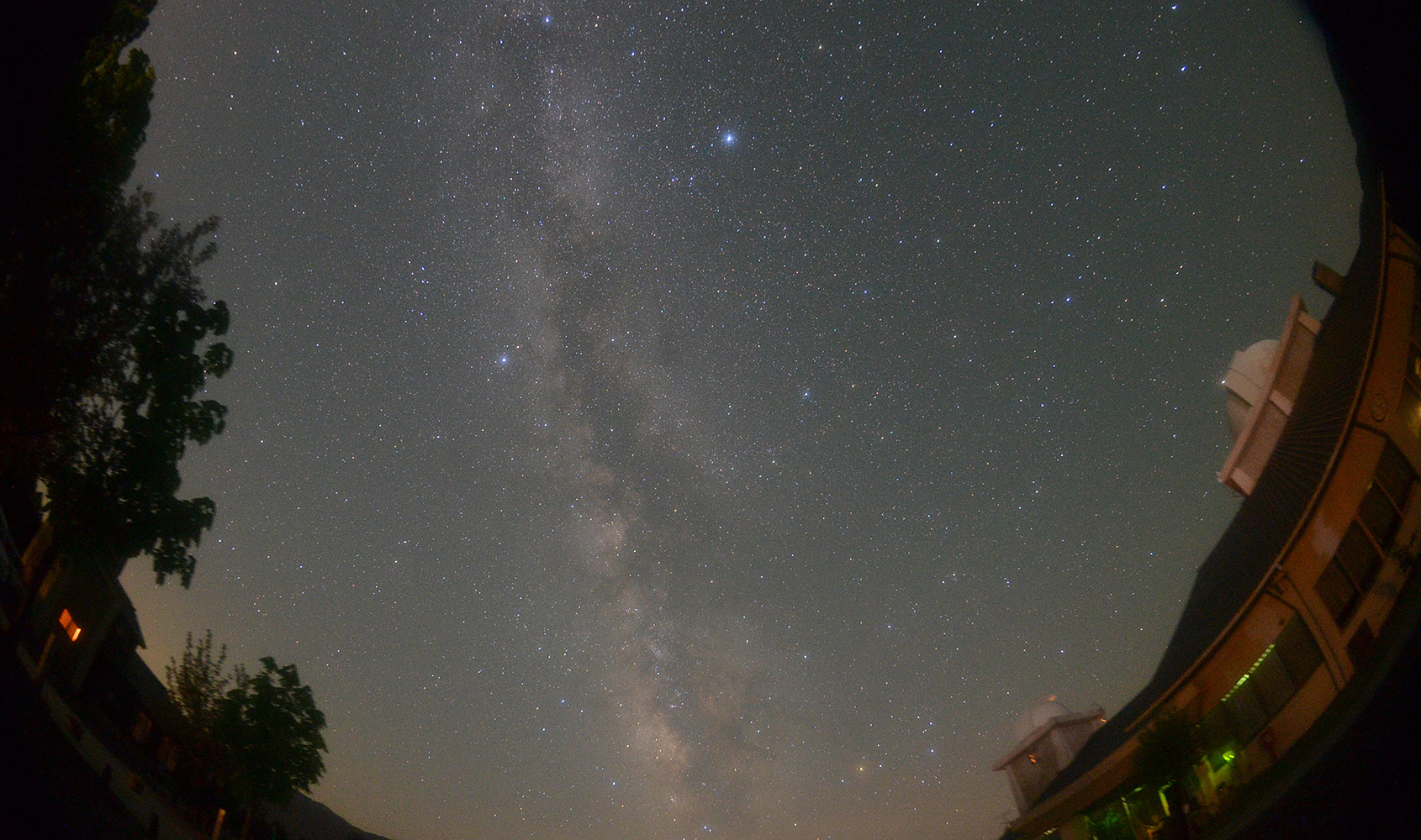
Saji Astro Park (Tottori City)
This is the perfect spot to view the starry skies of Tottori, which has repeatedly been voted as the best place in Japan for star gazing by the Star Watching Network. There are four cottages equipped with proper telescopes on the premises, so why not stay here with a group of friends to enjoy a relaxing night of stargazing?
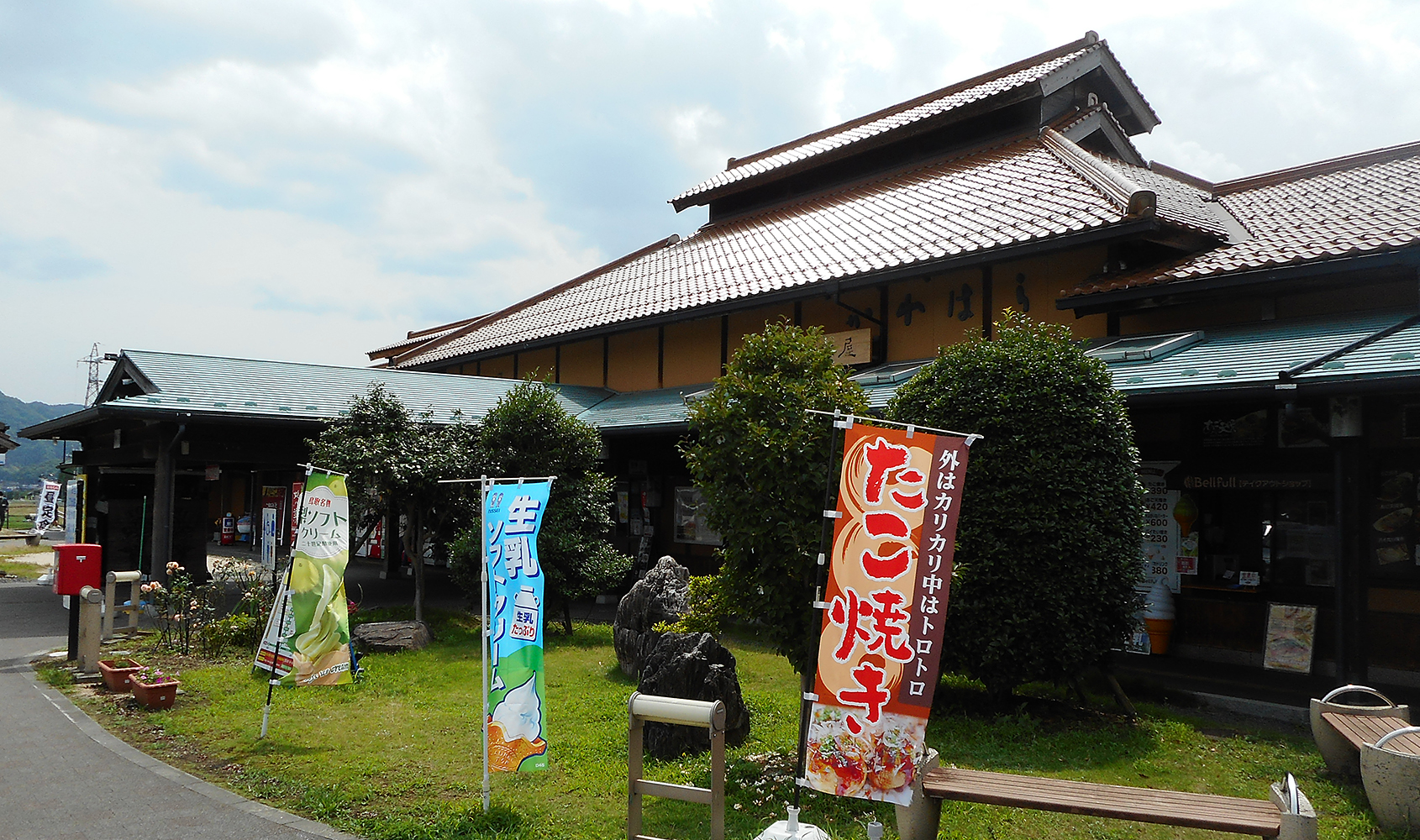
Roadside Station Seiryu Jaya Kawahara (Tottori City)
This roadside station lies on National Route 53. There is a restaurant, souvenir shop, rest area, and convenience store, making it a great place to take a break. The souvenir shop displays and sells traditional handicrafts from the prefecture, as well as local agricultural products.
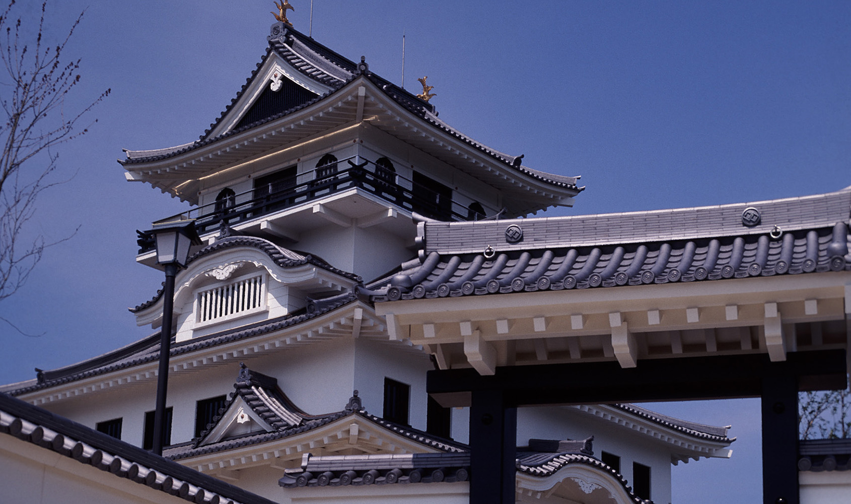
Kawahara Castle, Castle Mountain Observation Deck (Tottori City)
Enjoy this highly recommended view from the observation deck on the terrace of the castle keep and gaze out over the mountains of the Chugoku region.
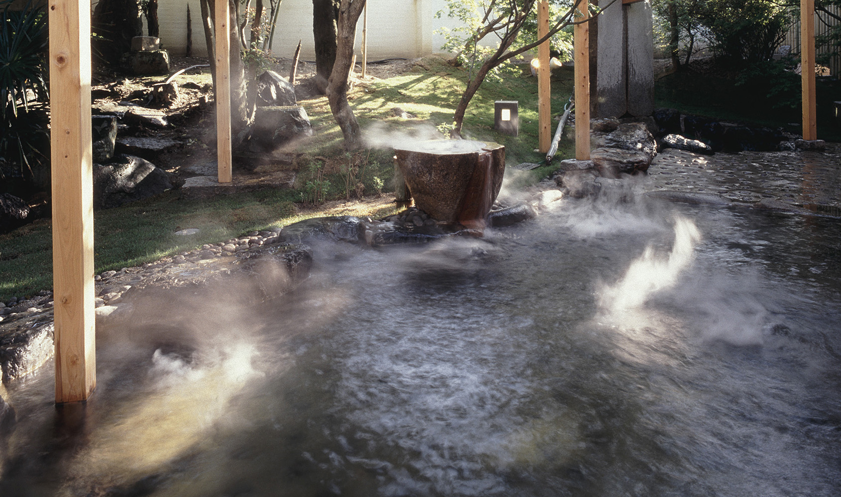
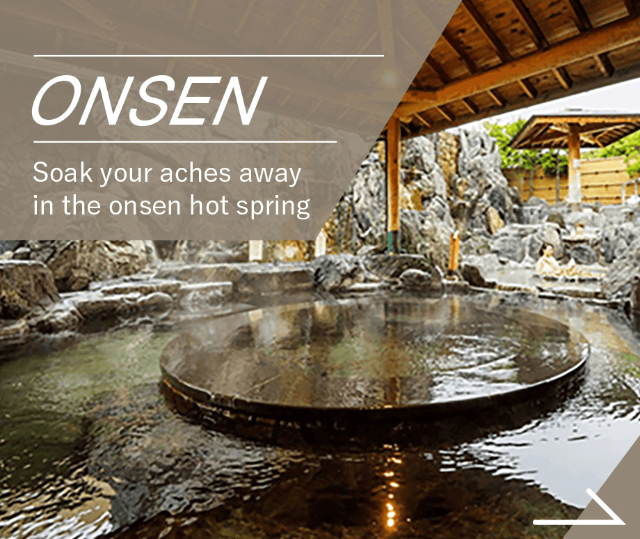
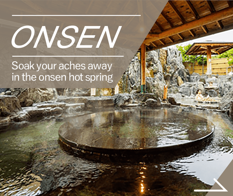
Tottori Onsen, hot spring (Tottori City)
Unusual in Japan, the hot springs well up in the main part of the city, within walking distance of Tottori Station. There are four natural spring baths available to the public and conveniently located.
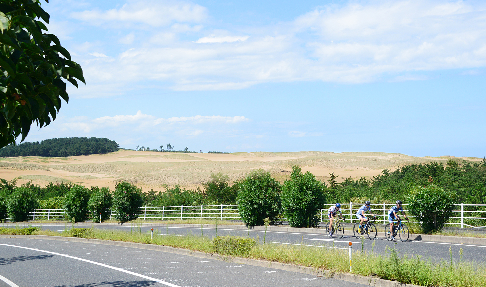
Tottori Sand Dunes (Tottori City)
Japan’s largest “sand pit” and the pride of Tottori! Cyclists are encouraged to get off their bicycles and walk barefoot to enjoy the feel of the sand. The Sand Museum is also nearby, where you can enjoy some of the world’s best sand sculptures.
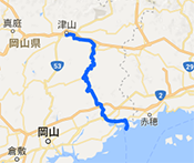
ACCESSAccess to start and finish point(s)
- ●Via car:
- Approx. 2 hours 40 minutes by Chugoku Expressway from Okayama City
- ●Via train:
- From JR Okayama Station
Approx. 1 hour 40 minutes via Limited Express Super Inaba
- KURASHIKI TAMANO
SEASIDE ROUTE - Level of difficulty / ★★☆ Intermediate
- Distance
- 90km
- Highest elevation
- 219m
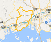
- BICCHU AROUND
HISTORICAL VISITING ROUTE - Level of difficulty / ★★☆ Intermediate

- Distance
- 108km
- Highest elevation
- 409m
- OKUKIBI
YAMABIKO ROUTE - Level of difficulty / ★★★ Advanced

- Distance
- 83km
- Highest elevation
- 451m
- MANIWA SHINJO
YAMANAMI ROUTE - Level of difficulty / ★★☆ Intermediate
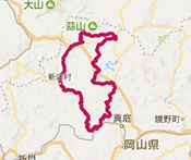
- Distance
- 100km
- Highest elevation
- 539m
- KATATETSU
ROMAN KAIDOU ROUTE - Level of difficulty / ★★☆ Intermediate
- Distance
- 76km
- Highest elevation
- 125m
- OKAYAMA KAGAMINO
THROUGH ROUTE - Level of difficulty / ★★★ Advanced
- Distance
- 114km
- Highest elevation
- 791m
- KIBIJI
CYCLING ROUTE - Level of difficulty / ★☆☆ Beginner

- Distance
- 25km
- Highest elevation
- 26m
- HIRUZEN-KOGEN
HEIGHTS CYCLING ROUTE - Level of difficulty / ★☆☆ Beginner
- Distance
- 29km
- Highest elevation
- 135m
KURASHIKI TAMANO
SEASIDE ROUTE
- Level / ★★☆ Intermediate
-

- Distance
- 90km
- Highest elevation
- 219m
BICCHU AROUND
HISTORICAL VISITING ROUTE
- Level / ★★☆ Intermediate
-
- Distance
- 108km
- Highest elevation
- 409m
OKUKIBI
YAMABIKO ROUTE
- Level / ★★★ Advanced
-
- Distance
- 83km
- Highest elevation
- 451m
MANIWA SHINJO
YAMANAMI ROUTE
- Level / ★★☆ Intermediate
-

- Distance
- 100km
- Highest elevation
- 539m
KATATETSU
ROMAN KAIDOU ROUTE
- Level / ★★☆ Intermediate
-

- Distance
- 76km
- Highest elevation
- 125m
OKAYAMA KAGAMINO
THROUGH ROUTE
- Level / ★★★ Advanced
-

- Distance
- 114km
- Highest elevation
- 791m
KIBIJI
CYCLING ROUTE
- Level / ★☆☆ Beginner
-
- Distance
- 25km
- Highest elevation
- 26m
HIRUZEN-KOGEN
HEIGHTS CYCLING ROUTE
- Level / ★☆☆ Beginner
-

- Distance
- 29km
- Highest elevation
- 135m

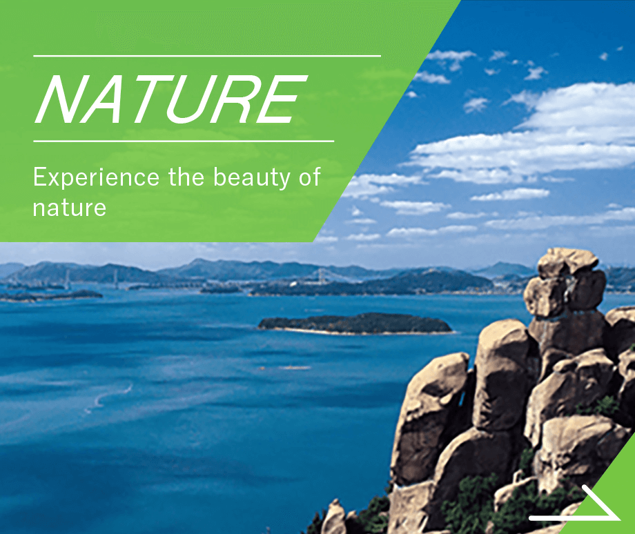
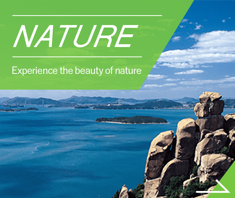
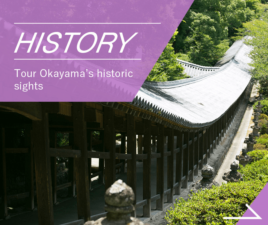
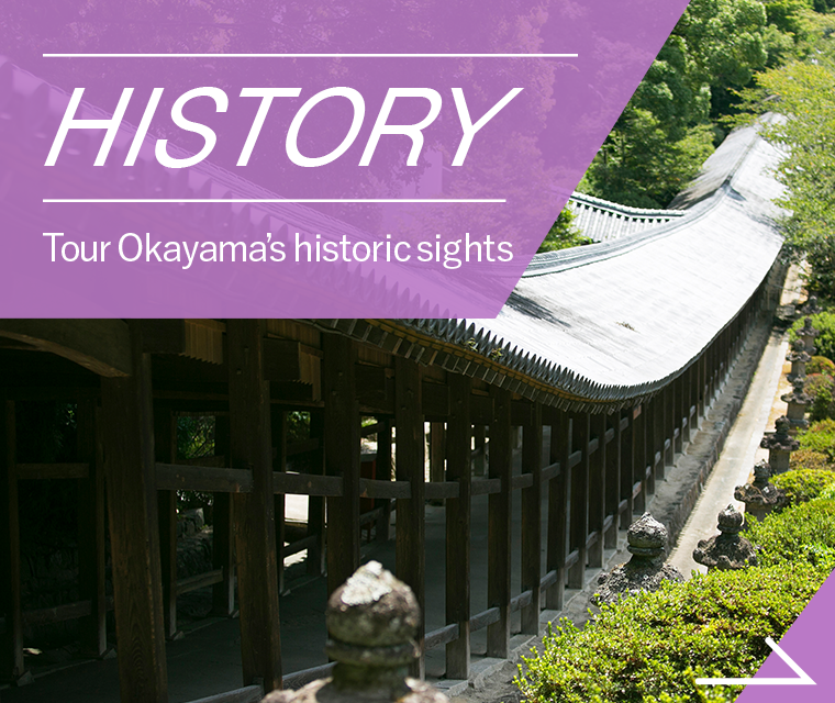
CATEGORYSearch by purpose and preference for the route you want to try


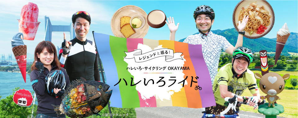
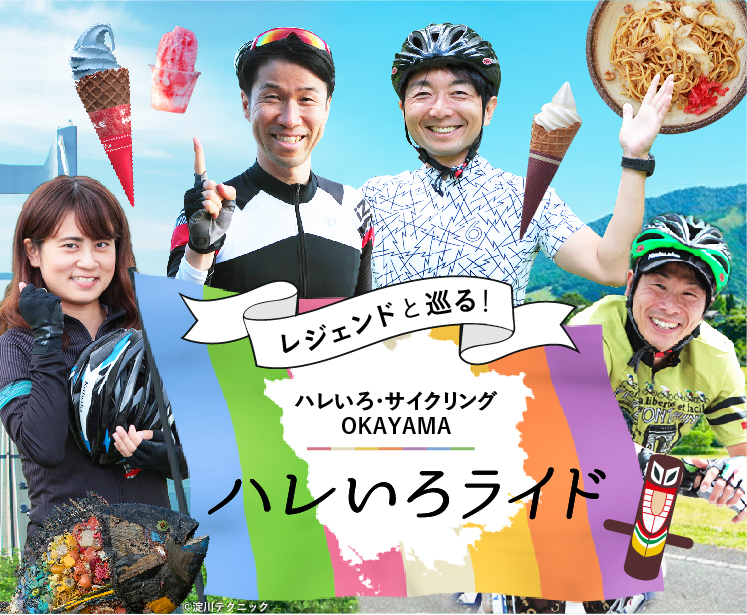
SPECIAL CONTENTS世界で活躍するサイクリストたちが、
マイバイクで岡山を走ります。


- ●Tourist-related inquiriesTourism Division, Industry and Labor Department, Okayama Prefecture TEL 086-226-7382
- ●Inquiries about the recommended cycling routesRoad Maintenance Division, Civil Engineering Department, Okayama Prefecture TEL 086-226-7472
©Hareiro Cycling Okayama, All Rights Reserved